©2008 Mediapool
|
water route
Ergis #ID: 679
Water route JIZERA
Harrachov Na Myte - start point - Víchová nad Jizerou Horni Sytova - exit point
detailed map
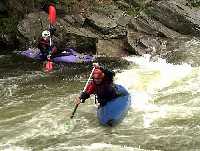
Water route Jizera between points Na Myte - Horni Sytova goes through beautiful Jizera valley.
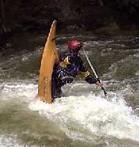
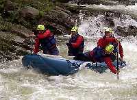
River Jizera can be used for running down with vessels without engine (raft, canoe, kayak) on all its lenght. The best season is spring when there is enough water from melting snow.
The starting and exit places are marked at the river with a table with a pictogram. Embarking and landing at other places are forbidden to protect natural conditions of river bank growth. Running down other water courses in the national park is not permitted.
|
|


