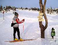
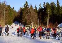
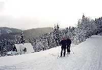
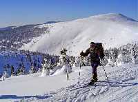
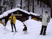
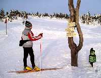
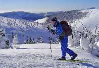
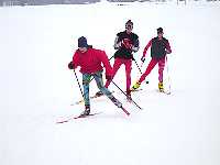
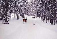
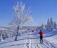
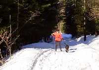
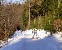
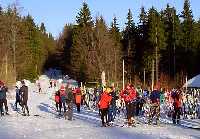
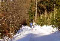
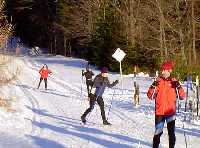
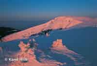
Cross-country skiing fans can choose from over 550 km of machine groomed and well signposted cross-country skiing trails in the Krkonose Mts. These trails are denoted by poles or signes. Hiking trails are marked with standard signs on most maps and may be used for cross-country skiing as well. The signs consist of three horizontal stripes: white top and bottom and a colored middle stripe. (red, blue, yellow or green). Some hiking trails, however, may be closed in winter to prevent avalanches.
Many cross-country skiing trails are connected to the Krkonose skiing route that starts in the western part of Krkonose in Harrachov and continues through Spindleruv Mlyn, Pec pod Snezkou and Mala Upa to the east to Zacler. This skiing route is prepared for classical skiing as well as skating for most of its length. You may also visit the Polish side of the Krkonose Mts. using one of the many skier border crossings. Do not forget to bring your ID card or passport.
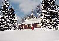
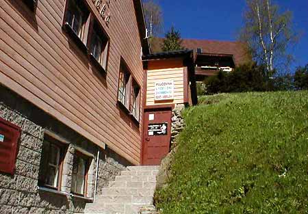
If the weather turns bad or you decide to continue your trip on the dext day, you can always find a accommodation at one of thechalets even without previous bookings (for groups we still recommend advance booking).
Maps and more information on cross-country skiing trails are available on the ergis.cz website in our E-shop or in any local information center.
Search for: |
Winter routes- | ski-lift | down-hill run | chair lift | cross-country skiing track | winter bus | hiking path (winter) | sledge run | bobsleigh track
Cross-country skiing(found: 43 out of 328 records in category: Cross-country skiing) |


